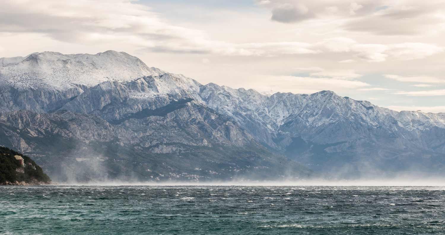
While Croatia is known for its amazing beaches, delicious cheeses, week long music festivals and intricate lacework, it is also known for something decidedly less fun or positive - very strong winds on the coast.
Particularly for those seafarers out there, the powerful winds that move through Croatia, Slovenia, as well as northern Italy can potentially be quite dangerous if you aren't aware of its different facets and warning signals.
By understanding when you're dealing with a Bura or a Jugo wind (there are two types depending on the wind direction), where the regional hotspots are, or how strong the winds are at any given time, you will be able to move through these areas safely and without fear of dealing with a potential shipwrecking or coastal accident.
The Different Types of Adriatic Winds
Throughout the Adriatic Sea, there are several different winds, each with its varying degree of strength and destructiveness. Winds like the Maestral are fairly harmless and won't cause too much trouble.
Others, like the Bura winds, on the other hand, can be incredibly powerful, even leading to an outright capsizing of a ship. Or destruction of coastal based property.

The different types of winds include Maestral, Jugo, Nevera/Neverin, and Bura.
These winds occur when air manages to escape from an area with a higher amount of air pressure and enters an area with a much lower amount of air pressure. As a result, this "pressurized air" pushes hard outward, creating incredibly strong gale force winds. Mountains and valleys can slow this down somewhat, however, once they get past these barriers and out into the open sea, they will play a very heavy influence on the current wind shapes.
The Bura Winds: The Most Feared Winds Throughout Croatia
From the Jugo winds to the Nevera ones, the Adriatic Sea hosts several powerful and dangerous winds.
The most feared, by far, are the Bura winds. Specifically, during the months ranging between October and April, the Bura winds can be strong, unpredictable...and deadly.

White Bura Wind vs. Black Bura Wind
Not only are the Bura winds very strong, but there can also be two separate versions, each with their origins as well as intensities; the White Bura and the Black Bur.
The White Bura Winds
Also known as the "anticyclonic Bura," the White Bura winds occurs whenever the cold air from the mountains hits the southern regions over the Adriatic sea.
During this time, the southern sky's low air pressure clashes with the cold air before warming and displacing it.
The Black Bura Winds
For the Black Bura winds, much of the scenario is the same. Regarded as the "cyclonic Bora," the Black Bura occurs when cold air reaches, instead, either the northern Balkan regions or the northern Italian coasts.
In either scenario, rather than the winds being displaced and settling, they begin to rise. This makes even stronger high-pressure winds that prove to be the dangers most natives associate them with.

The Velebit Valleys: A Bura Hotspot
Because these Bura winds only become so strong and deadly once high and low air pressures mix, blowing towards the sea whenever it is mainly low air pressure, certain mountain ranges throughout the country act as barriers and obstacles.
Mountain passes like the Dinaric mountains help reduce these winds from flowing full force and are very helpful.
However, because of the various mountain passes and cross valleys, any goodwill given is largely taken away. In these instances, because much of the wind is blocked from the mountains themselves, the passes and valleys act as a high pressure nozzle area.
Rather than stopping or slowing, these nozzles strengthen, focus, and intensify the cold winds, making their ultimate force even more powerful than it otherwise may have been.
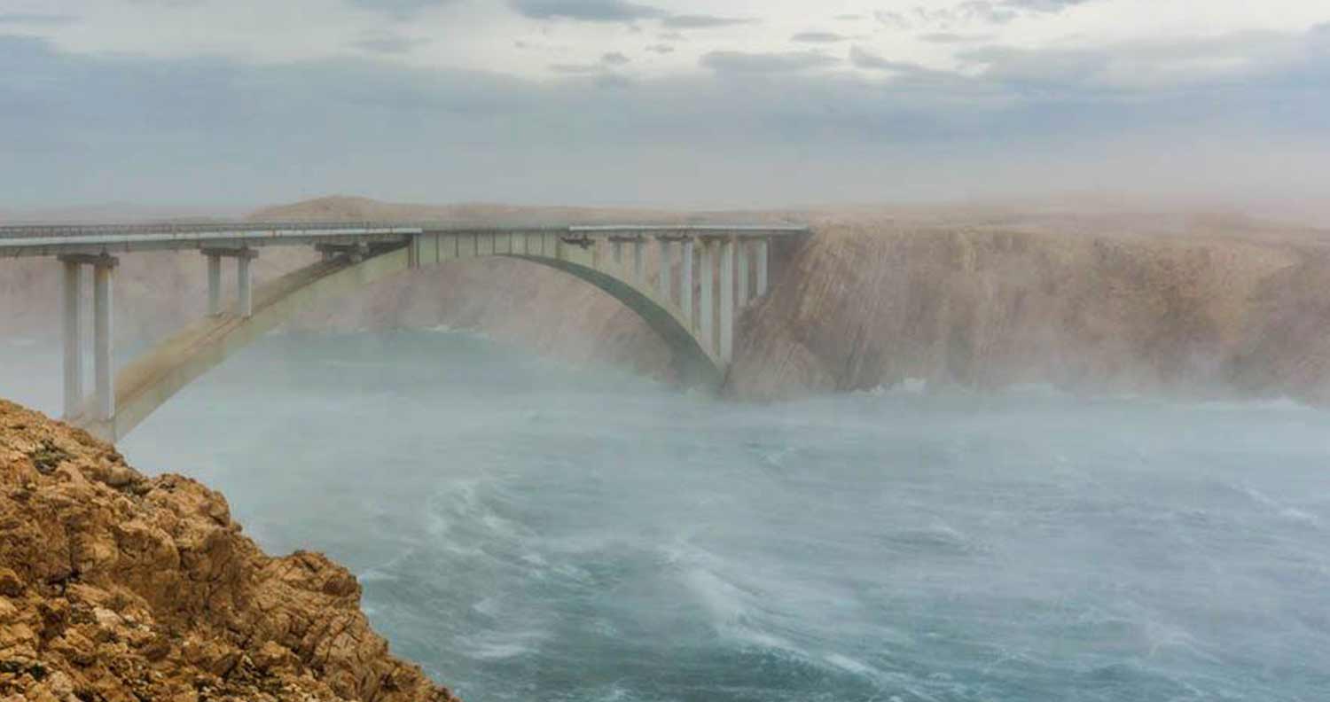
This is especially noticeable on Pag Island and the Bura winds rip across the island!
The Wind Strength of a Bura
Bura winds come onto the scene fast and without warning. They are estimated to reach wind forces between 5 and 7 on the Beaufort scale, with their shortened gusts producing much more. The Krk reported that these gusts could reach 248.4 km/h, with one gust in Makarska hitting over 250 km/h back in the late 90s.
While this is true throughout the area, those ranging from Kvarner to Rijeka are strongly advised to seek safe harbor if there are any signs of Bura winds.

The Bura Winds: Unpredictable and Unpleasant
The biggest issue that comes with Bura winds is their deceptive and unpredictable nature. In most instances, people rarely know when one of these winds will appear. It is a bit of a joke that, while the photographers get the Adriatic on its best behavior, the skippers and coastal towns get it on its worse.
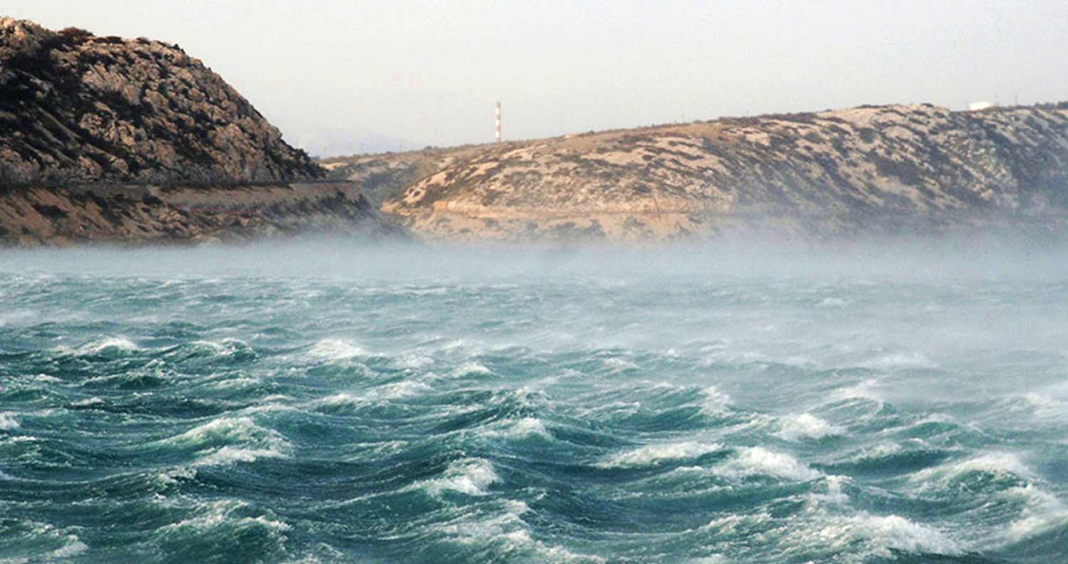
Similarly, its waves, while not particularly tall, are very steep. Most are only between 1 and 2.5 meters, and have a surprising amount of strength, particularly for marine skippers and small boats.
Knowing the First Signs of the Bura Winds
While few warning signs call out a Bura wind, there are some things worth being on the lookout for, especially if you're a skipper.
Though not a sure thing, as the Adriatic becomes more visible and clouds start building up only to seem as if they are being heavily pushed by the wind, this is a good time to start finding a place to harbor one's ship or self.
Following a Jugo Wind Spell
In addition to these, other warning signs that are fairly more reliable include the recent showcasing of Jugo winds. Bura winds are often seen following Jugo winds due to the sharp drop in air pressure throughout the area.
It is estimated by a meteorologist that a Jugo wind will drop the air pressure by between 5 and 10hPa within only 6 to 12 hours. From there, the air pressure will begin rising by around 2 and 3hPa before clearing up from the north.
If, later, the air temperature immediately begins to drop and there is no morning dew on the decks that next day, there is a very high chance that a Bura wind is headed your way.
The Areas Most Susceptible to Bura Winds
While many places can suffer due to strong Bura winds, they become especially dangerous while in the southern regions of the Gulf of Trieste.
Similarly, the Kvarner Bay, the Gulf of Rijeka, the eastern coast of Rab and Jablanac, Omis and Makarska, Sibenik, Pag Island and Cape Ploca, as well as between Senj and the strait between Krk and Prvic.

The Bura winds also blow incredibly strong within the nozzle of Baska, as well as the southern part of Krk and the Maun Island.
Essentially the areas that are most likely to be within one of the nozzle points from earlier are likely to suffer the most.
Jugo Wind: The Exact Opposite of Bura
Originating from the African southern winds, Jugo winds are seen as the exact opposite of Bura winds. Often known as Sirocco, these winds are similarly unmistakable due to their brownish yellow dust that coats the decks of nearby ships.
Jugo winds are most often seen during the spring and autumn season and only reach around 5 Beaufort even at its peak, most often remaining within the 3-4 Beaufort range.
These winds are generally regarded as being a mix of sun and clouds while having a slight sultriness to them.
Jugo Winds Creating Waves Up to Five Meters Tall
With winds reaching the south of the Adriatic Sea, they become Jugo winds which can reach up to 5 meters in length.
These can cause serious problems for skippers and land owners, particularly those off the coast of Istria.
Once the winds have finally subsided, they are immediately followed by strong thunderstorms.
These generally start from August and go well into the end of the year, actually turning into a Bura once temperatures cool.
If you have dealt with a Jugo, be aware of the weather, as it is likely to precipitate a full-on Bura wind.
In that case, setting up anchorage and waiting out the secondary winds is strongly advised
